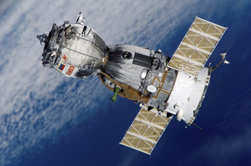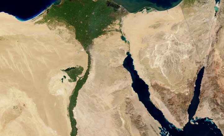
Weather satellites play a pivotal role in understanding our planet’s complex climate systems, allowing scientists to monitor and analyze rainfall patterns from space. This technology not only aids meteorologists in forecasting weather but also assists in disaster management, agriculture, and climate research. In this comprehensive article, we will explore how weather satellites operate, the technology behind them, and their impact on understanding rainfall patterns globally.
1. The Evolution of Weather Satellites
The journey of weather satellites began in the early 1960s with the launch of Vanguard 2, which was designed to measure cloud cover. Since then, technological advancements have transformed sun-synchronous and geostationary satellites into powerful tools that monitor a multitude of atmospheric conditions, including temperature, humidity, wind speed, and precipitation.
Today, satellites such as the National Oceanic and Atmospheric Administration’s (NOAA) GOES series provide real-time weather data, while satellites like NASA’s Global Precipitation Measurement (GPM) mission focus specifically on measuring rainfall.
2. How Weather Satellites Measure Rainfall
Weather satellites employ various instruments to detect and measure rainfall. Here are some of the primary technologies used:
- Microwave Radiometry: This method involves detecting naturally occurring microwave radiation emitted by the Earth’s surface and atmosphere. When rain falls, it changes the amount of this radiation, allowing satellites to estimate rainfall rates accurately.
- Radar Technology: Ground-based weather radars can be complemented by space-based radar systems. For instance, GPM includes a Dual-frequency Precipitation Radar (DPR) that provides high-resolution data on rain structure and intensity.
- Visible and Infrared Sensors: Satellites capture images of cloud formations using visible and infrared sensors. By analyzing these images, meteorologists can infer precipitation locations and amounts based on cloud thickness and temperature.
The synergy between these technologies enables meteorologists to collect comprehensive data on rainfall patterns globally.
3. The Global Precipitation Measurement (GPM) Mission
Launched in 2014, NASA’s GPM mission is a collaborative international endeavor aimed at improving our understanding of rainfall and its impacts on weather and climate. Here’s how GPM enhances our ability to track rainfall:
- High-Resolution Data: GPM provides near-real-time data on global precipitation every 30 minutes. Its advanced radar and radiometer instruments allow for more accurate global rainfall measurements than ever before.
- 3D Structure Analysis: The satellite can assess the vertical structure of rainfall, enabling scientists to differentiate between light showers, thunderstorms, and intense rainfall events.
- Integration with Ground Data: GPM’s data is integrated with ground-based measurements for calibration, resulting in improved rainfall estimates that are critical for climate and weather research.
This comprehensive approach allows policymakers and researchers to make informed decisions regarding water resources, agriculture, and disaster preparedness.
4. The Importance of Rainfall Data
Understanding rainfall patterns is crucial for numerous sectors globally, including:
- Agriculture: Accurate rainfall data helps farmers optimize planting and irrigation schedules, ensuring better crop yields and sustainable practices.
- Disaster Management: Timely information about heavy rainfall can aid in the detection of floods and landslides, enabling emergency services to respond effectively and minimize loss of life and property.
- Climate Studies: Long-term rainfall data is essential for understanding climate change patterns and their impacts on local and global ecosystems.
By analyzing rainfall patterns from space, scientists can better predict and prepare for these various scenarios, ultimately leading to improved resource management and enhanced safety.
5. The Future of Weather Satellites
As technology continues to advance, the future of weather satellites looks promising with potential innovations such as:
- Smaller Satellites: The advent of miniaturized satellites, known as CubeSats, may allow for cost-effective monitoring of precipitation across various regions and enhance observational networks in developing countries.
- Improved Data Analytics: The integration of artificial intelligence and machine learning models can enhance the analysis of satellite data, resulting in even more accurate forecasting and rainfall pattern identification.
- Real-Time Applications: Future weather satellites may provide instantaneous data access for urban planners, emergency responders, and agricultural managers, fostering proactive decision-making in response to changing weather conditions.
As the demand for accurate meteorological data continues to grow, advancements in satellite technology will undoubtedly shape our understanding of weather patterns and climate change.
Conclusion
Weather satellites are essential for monitoring rainfall patterns and understanding the hydrological cycle from space. Their ability to provide real-time data on global precipitation not only enhances weather forecasting but also significantly impacts agriculture, disaster management, and climate research. The advancements in technology and the continued collaboration among international agencies ensure that weather satellites will play a crucial role in addressing the challenges posed by climatic variability and change in the future.
As we look ahead, the integration of more sophisticated technology will empower our ability to understand and manage rainfall patterns, contributing to a safer and more sustainable world.


