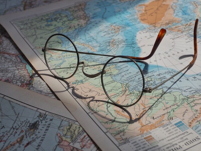
The world as we know it began to take shape on pieces of parchment and canvas long before the advent of GPS and modern mappings. Early cartographers were not just scientists or explorers; they were storytellers, influenced heavily by mythology and folklore. These early maps were intricate works of art infused with the cultural beliefs, fears, and narratives of the time, reflecting more than just geography; they captured the imagination and understanding of the world.
1. The Role of Myths in Early Navigation
Myths played an essential role in navigation, often determining the routes taken by traders and explorers. Legends of terrifying sea monsters, fierce dragons, or other monstrous entities struck fear into the hearts of mariners, so much so that they sometimes carved warnings on their maps.
For instance, maps from the Middle Ages often included sea creatures at the edges, representing uncharted waters where many sailors believed these monsters lurked. One notable example is the **mappa mundi**, a medieval European map depicting not only the known world but also mythical creatures like the Sea Monster, a representation of the dangers of venturing into the unknown.
2. Influence of Ancient Texts
Ancient texts such as **Ptolemy’s Geography** and even mentions of monsters from Greek mythology heavily influenced cartographic interpretations. The fear of the unknown, described in tales of the Cyclops or the Scylla and Charybdis, fuelled both curiosity and trepidation in explorers.
The **Tabula Rogeriana**, created in 1154 by the Muslim geographer Muhammad al-Idrisi for King Roger II of Sicily, incorporated several mythical elements alongside precise geographical details. Elements from Greek mythology were seamlessly blended into the narrative driven by cultural perspectives, showing how deeply woven these stories became in the understanding of geography.
3. The Creation of the “Here Be Dragons” Myth
The phrase “Here Be Dragons” famously appears on some early maps, indicating regions of danger, and has since become synonymous with the uncharted. This warning was often accompanied by intricate illustrations of dragons, murderous beasts, and other mythological monsters.
These mythological representations were not merely for decoration; they served significant practical purposes. They communicated to others the perception of peril associated with different areas. A mapmaker might depict a dragon where others would document a mountain range or an uninhabitable stretch, sharing a cultural understanding that could influence the decisions of travelers and traders alike.
Encounters with unexplained phenomena led to the addition of these mythical creatures on maps, reinforcing fears and drawing stark borders between the known and the unknown.
4. Cartography as a Reflection of Cultural Values
For many early societies, maps were not merely tools for navigation; they were embodiments of their worldviews. Different cultures across the globe often contributed their own mythological interpretations of geography, revealing how cartography could reflect societal values, fears, and aspirations.
In Japan, for example, cartographers included the legendary **Yamato Takeru**, a hero whose stories inspired maps that integrated geography with national identity. In contrast, European maps would frequently illustrate lands inhabited by strange and fearsome creatures as metaphors for otherness and the hostility of foreign realms. The choices cartographers made regarding which monsters to include illustrated broader cultural fears and interests of their time.
5. Topographical Interpretation of Monsters
Interestingly, many of the monsters depicted were not purely imaginative constructs but interpretations of actual geographical features. A treacherous coastline might be portrayed as a dragon’s tail, while a mountain range could look like the back of a massive beast. This topographical interpretation may have helped people understand their surroundings while infusing a sense of mystique and storytelling into their landscape.
These unique representations could also act as mnemonic devices, making maps easier to remember and discuss among travelers who might never have seen the region in question. The blend of myth and topography created a narrative around the maps, aiding understanding and memory.
6. Myths Evolving with Cartography
As geography became better understood and exploration expanded, some of the mythical creatures began to disappear from maps. However, this was not purely a process of elimination; rather, it paved the way for new myths and legends about uncharted territories. The fascination with the unknown continued to be a source of inspiration for storytellers and cartographers alike.
The legends of **lost continents** and **hidden kingdoms**, for instance, seeped into the collective consciousness and were frequently illustrated on maps. The search for these places often spurred exploration, giving birth to new stories and myths that intertwined human curiosity with the natural landscape waiting to be unveiled.
7. The Lasting Impact of Myth and Cartography
Today, although scientific exploration has provided accurate geographical data and a far more realistic view of our world, many aspects of early cartography influenced contemporary map-making. The way myths shaped human understanding of geography created narrations in maps that still evoke curiosity and awe.
Even today, many maps include whimsical elements or names that reference local folklore, giving a nod to the legendary narratives that preceded them. The cultural narratives and fears entwined with geography continue to inform how we interact with the land around us, often immortalizing ancient myths into modern-day cartographic techniques.
Conclusion
In conclusion, myths about monsters profoundly influenced early cartographers and their work, shaping our understanding of the world in which we live. While modern technology has changed the way we perceive and depict geography, the legacy of these mythical beings lives on in how we approach uncharted territories. Understanding the link between mythology and cartography not only enriches our appreciation of historical maps but enhances our understanding of the imaginative human spirit that sought to conquer the unknown. In a world where adventure lies in every corner, it’s essential to remember that even the fiercest dragons were borne from the depths of human imagination.
References
1. Edson, Evelyn. The World Map, 1300-1492: A Historical Atlas. 2nd ed. University of Wisconsin Press, 2007.
2. Harley, J.B. The History of Cartography. University of Chicago Press, 2006.
3. Woodward, David. The History of Cartography: Volume 1, Cartography in the Traditional Islamic and South Asian Societies. University of Chicago Press, 1987.


